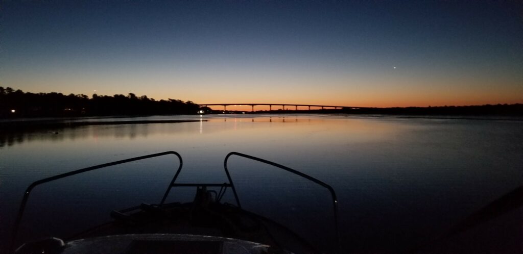
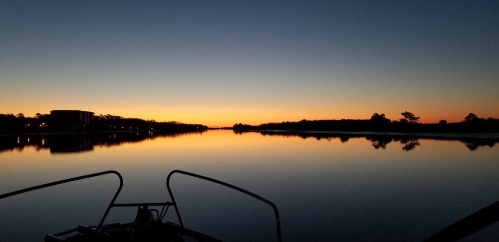
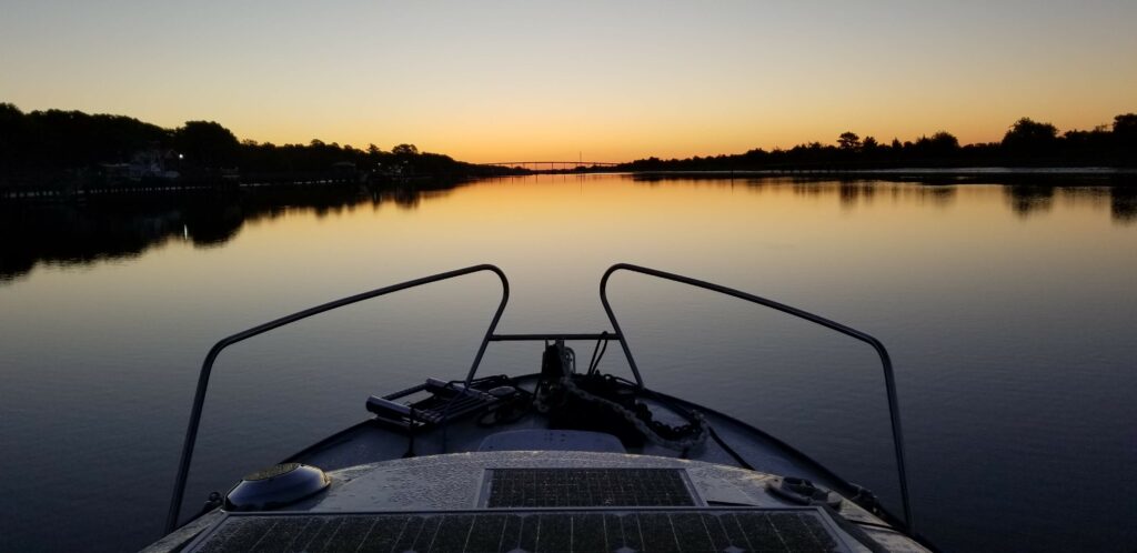
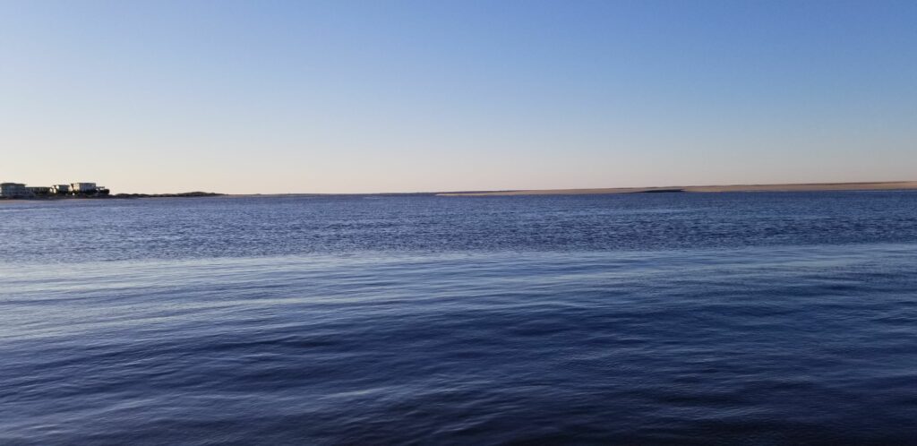
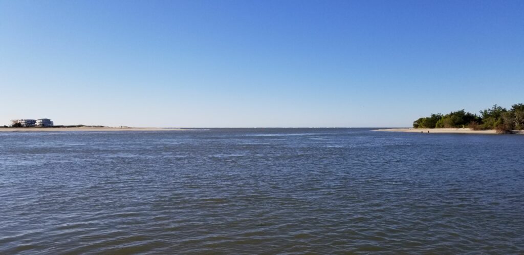
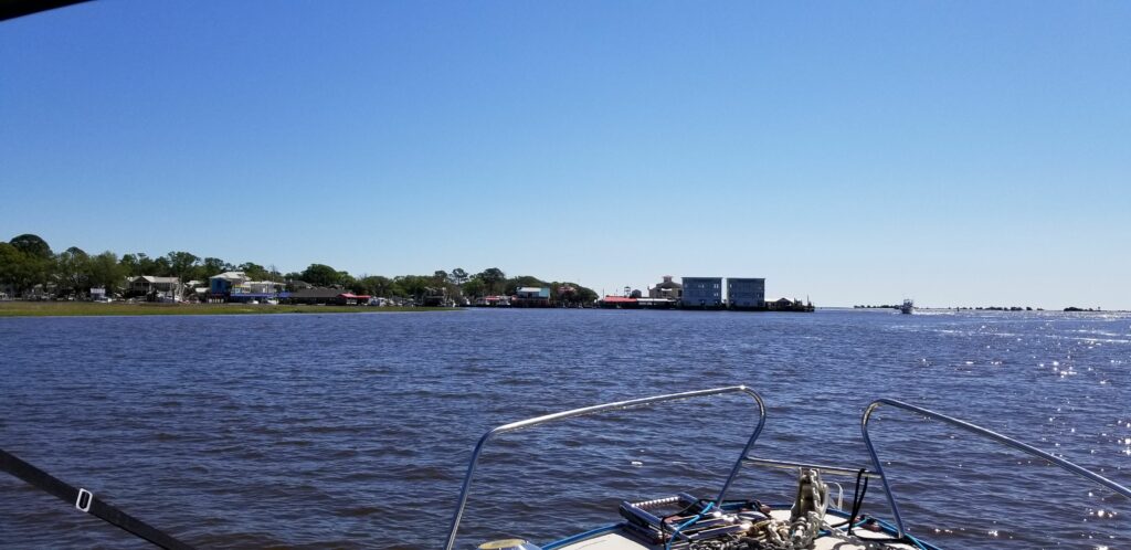
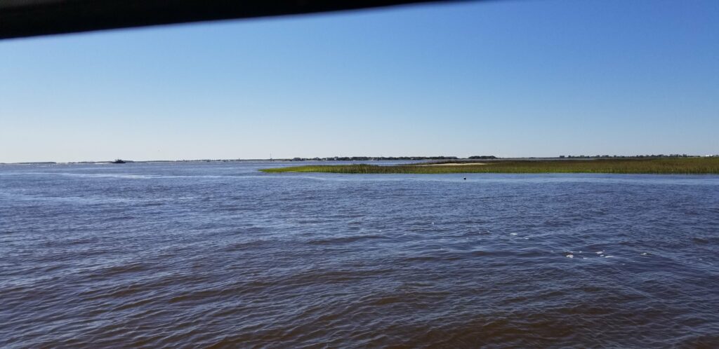
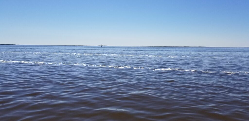
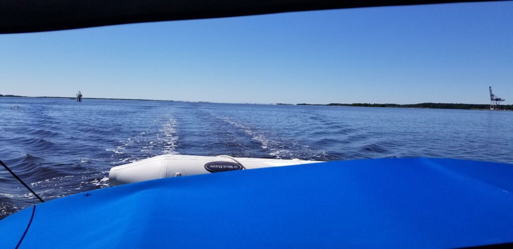
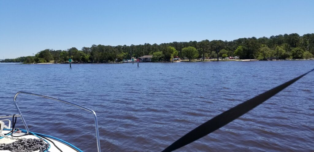
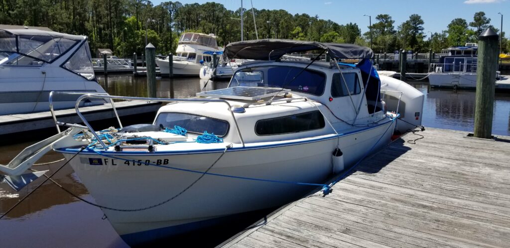
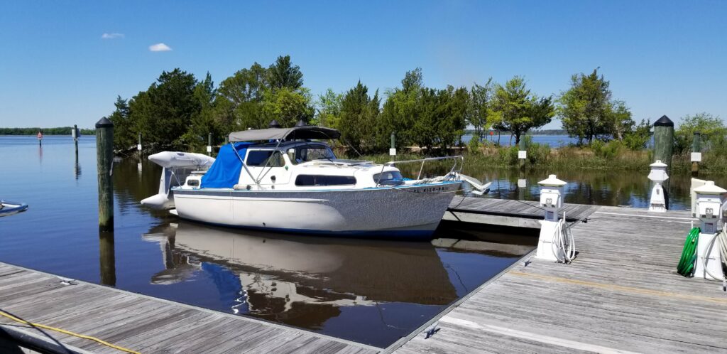
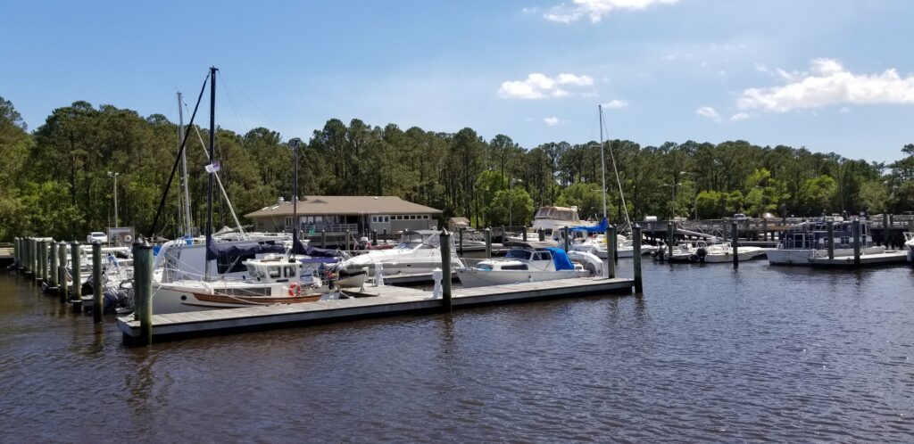
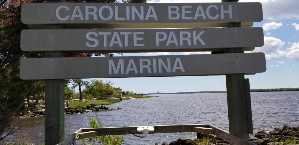
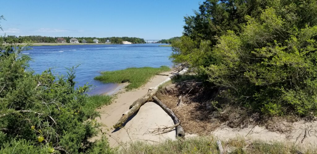
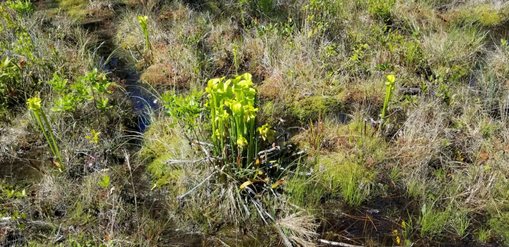
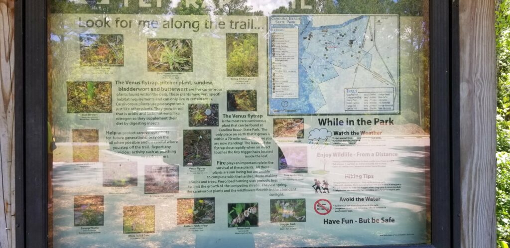
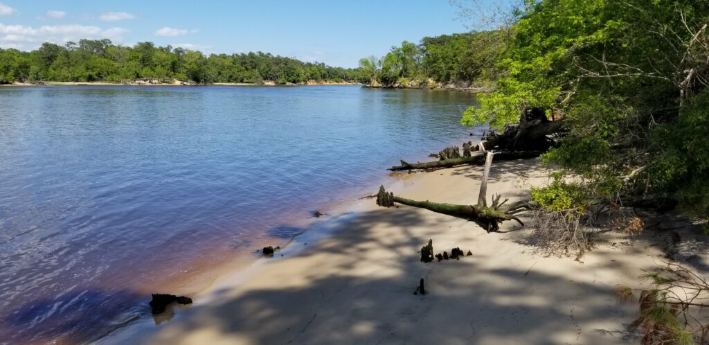
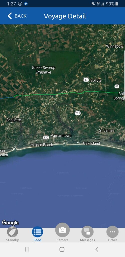
Based on the advice I got from the crew of Bella Gatto, I researched the tides for Southport, where the Cape Fear River inlet is, and determined that I had to reach that point by 10:55 AM – so I set my alarm for 5:00 AM, and left my anchorage by 5:20. This is my first view of the sunrise.And it got much nicer – 48 degrees out makes for a clear morning, also very calm.Coming up on another bridge with the sunrise still occurring – at this point I could see pretty well.I passed two inlets to the ocean on the way to Southport – this was one of them. Each time I was approaching one, the current was against me, but as soon as I passed it the current was with me about half way to the next one.This is the second inlet I passed on the way to Southport – here after passing it I got an assist from the current til about halfway to Southport, and then it was against me til I got there (although I new then that I would have an assist up the Cape Fear River).I was able to reach Southport by 10:30 and just caught the end of a rising tide This is Southport – when I brought Catitude home last year, I stopped here and enjoyed the place. Since I had already been there, I decided to skip it and take the favorable conditions up the my next destination…The Cape Fear River inlet – looks rough out there, glad that’s not the way I am headed. I am turning North, up the river. . At this point heading north up the Cape Fear River, I was going 10.0 mph over the ground! Huge assist from the last of the rising tide.This is a wide river – if it was windy, this would be rough, but as you can see, it it relatively calm and a beautiful day. I reached the Carolina Beach State Park marina (also part of the advice from Bella Gatto) around 12:20, making this a 7 hour day. This is the entrance channel, at the beginning of Snow’s Cut where the Intracoastal leaves the Cape Fear River. What a great place! Very well protected – I have my own slip.The entrance and Snow’s Cut are behind me and on the other side of the trees.The marina and marina office – the cost of the slip was very reasonable and included power. Not that I really need it, but I went ahead and made my tea and heated some soup for lunch using there power 🙂The marina sign, and through you can see the Cape Fear River.The view down Snow’s Cut, which I will be traversing tomorrow on my journey.The trails here are really nice. I walked about 3 miles of them. This trail is the Flytrap trail, where there are supposed to be Venus Flytraps. I didn’t see any, but I saw the interesting pitcher plant.The trail map and some of the plants that are in the park.Another view of Snow’s Cut from the Snow’s Cut trail at the park.This was my route today – about 54 miles in 7 hours – good day.